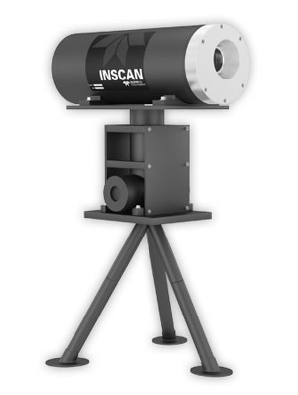
Inscan
Catalogs:
Overview
The world's first underwater LiDAR system designed specifically for the challenging subsea oil and gas industry. INSCAN collects high resolution 3D point clouds of subsea assets and the surrounding environment. An integrated rotational stage provides a 30 degree x 360 degree field of view while mounted on an ROV or tripod. A joystick driven operator interface provides real time quick views of the results and exports to industry standard point cloud formats instantly.
Tags
- 3D Mapping
Developed by
Teledyne CDL
