Geostatistics
Catalogs:
Overview
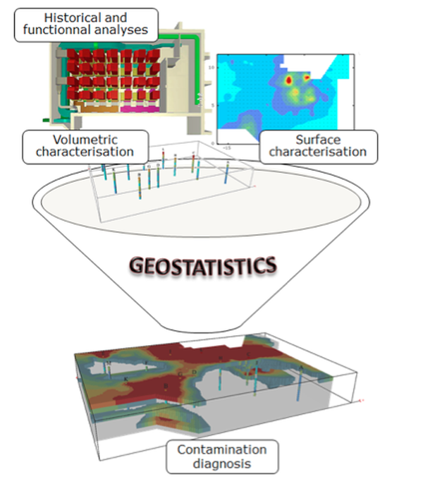
Combining historical information, non-destructive measurements and lab analysis results, the statistical method of geostatistics allows all available data for 2D or 3D contamination mapping to be integrated and enhanced, and helps quantify estimation uncertainties.
Tags
- Sellafield
Developed by
Geovariances
