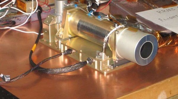
Compact Thermal Imager (CTI)
Catalogs:
Overview
This satellite-based tool will image and measure fires, ice sheets, glaciers, and snow surface temperatures. It will also measure the transfer of water from soil and plants into the atmosphere - important measurements for understanding plant growth. Many of the conditions that Earth scientists study, including these, are easily detected in the infrared or thermal wavelength bands.
Tags
- Thermal Imaging
Developed by
NASA Headquarters
