Ellipsis Explorer
Catalogs:
Overview
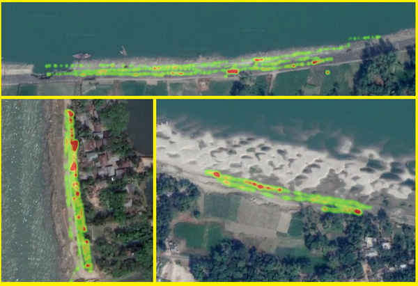
Software that uses drone imagery and machine learning with a uniquely-trained algorithm to create detailed heatmaps of hotspots, enabling NGOs, authorities, and industries to monitor pollution, take action and assess the effectiveness of initiatives, whilst optimizing clean-up.
Tags
-
No tags applied
Developed by
Ellipsis Earth Limited
