Asset Scan
Catalogs:
Overview
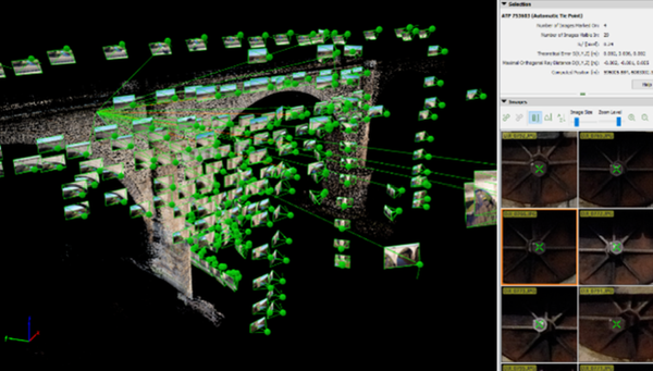
Photogrammetry software to rapidly develop point clouds of structures. This technique uses many high resolution images taken from a UAV platform to construct an image based on the position of identified features within the images. Added machine learning can automatically identify and highlight features of particular concern such as vegetation, mortar loss, missing blockwork or large cracks.
Tags
- Photogrammetry
- Digital Twin
- Imaging
- Software
Developed by
CC Informatics Ltd
