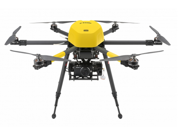
ZX5
Catalogs:
Overview
The ZX5 multi-rotor unmanned aircraft system (UAS) is an aerial imaging and workflow solution that captures and processes geo-referenced photo and video data for mapping, agriculture and inspection applications.
The ZX5 includes a 16-megapixel camera to capture aerial imagery down to a 1mm ground sample distance. The UAS also can be equipped to capture live video imagery for civil infrastructure, utility, and oil and gas pipeline inspections.
Tags
-
No tags applied
Developed by
Trimble Navigation
