LATAS
Catalogs:
Overview
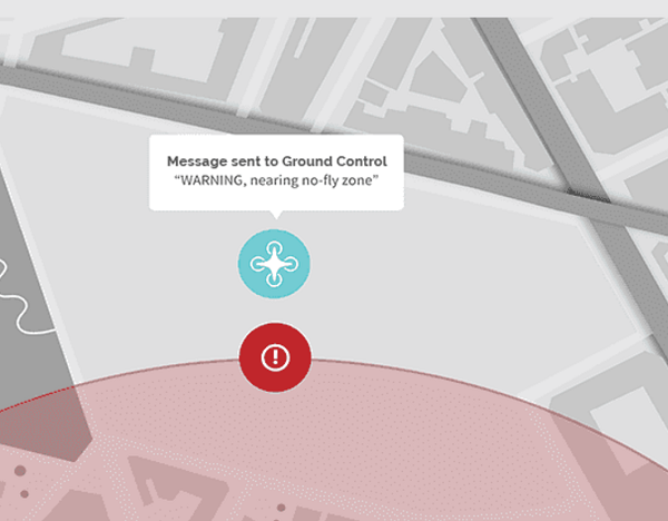
The software provides users real time information about surroundings and their drone such as location tracking, obstacles and geo-fence awareness. Drone operators can then make sound decisions about when and where it’s best to fly for safe operation.
Tags
-
No tags applied
Developed by
Precision Hawk
