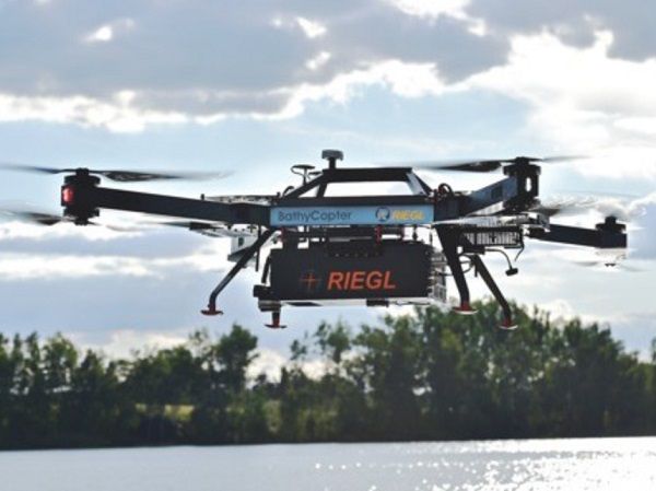
BathyCopter
Catalogs:
Overview
A UAV-based LIDAR surveying system for bathymetric applications such as for generating profiles of shorelines and inland waterbodies.
Tags
-
No tags applied
Developed by
RIEGL
