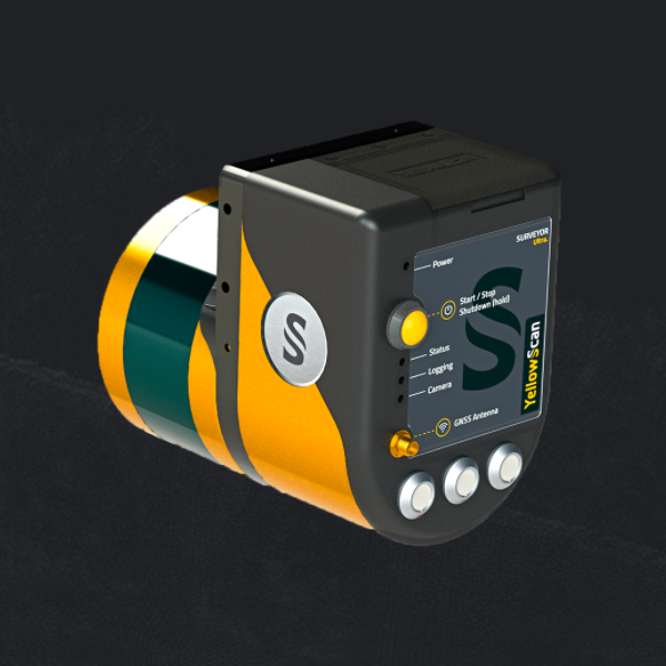
Surveyor
Catalogs:
Overview
An ultra-light laser scanner (1.6kg) intended for UAVs and other ultra-light aircraft. Light Detection and Ranging (more commonly called LIDAR) is a laser-based remote sensing technology. It is widely used in the domain of geographical information system (GIS) for surveying and mapping natural resources and infrastructures. LIDAR is well known in the domain of producing high-resolution maps in remote sensing, atmospheric lidar-drone-sensing, geomatics, geography, geomorphology, archeology, forestry, contour mapping, laser altimetry, geographic infomatics and related sciences that are relying on high accuracy definition of terrestrial three-dimensional points position and the extremely precise & faithful calculation of the distances and angles between them.
Tags
-
No tags applied
Developed by
Yellowscan
