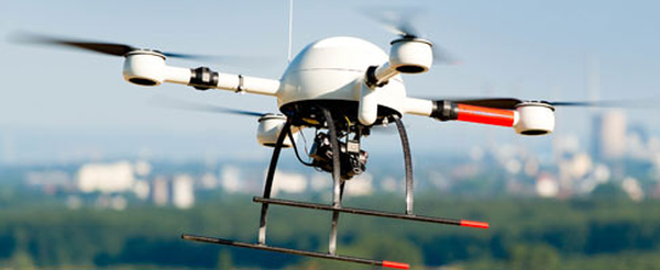
md4-1000
Catalogs:
Overview
mdLiDAR1000 is a fully integrated system for producing 3D point clouds optimized for land surveying, construction, oil & gas, and mining applications. It consistently provides an accuracy of 6 cm (0.2 ft) when flown at 40 m (130 ft) at a speed of 3 m/s (6.7 mph). It is an end-to-end LiDAR solution combining a drone, a LiDAR payload and fully integrated software workflow.
Tags
- Quadcopter
- Paducah
Developed by
Microdrones
