Rooster
Catalogs:
Overview
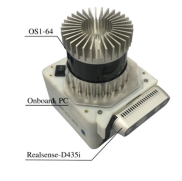
The Rooster mapping device integrates LIDAR, stereo-vision and a PC for computation. Using a combination of visual-LIDAR odometry and the detecting loop closures using visual place recognition the team can build accurate 3D maps in real-time.
Tags
- Chernobyl
- RAIN Hub
Developed by
Oxford Robotics Institute (ORI)
