Argus 3D SLAM
Catalogs:
Overview
A 3D mapping and localisation platform, primarily used for autonomous inspection and data acquisition in industrial environments. It integrates LiDAR, IMU, and camera systems to generate accurate, real-time 3D point clouds and localise itself within a mapped environment, making it effective in GPS-denied or hazardous spaces.
Tags
- INL Pit Inspection
Developed by
Nexxis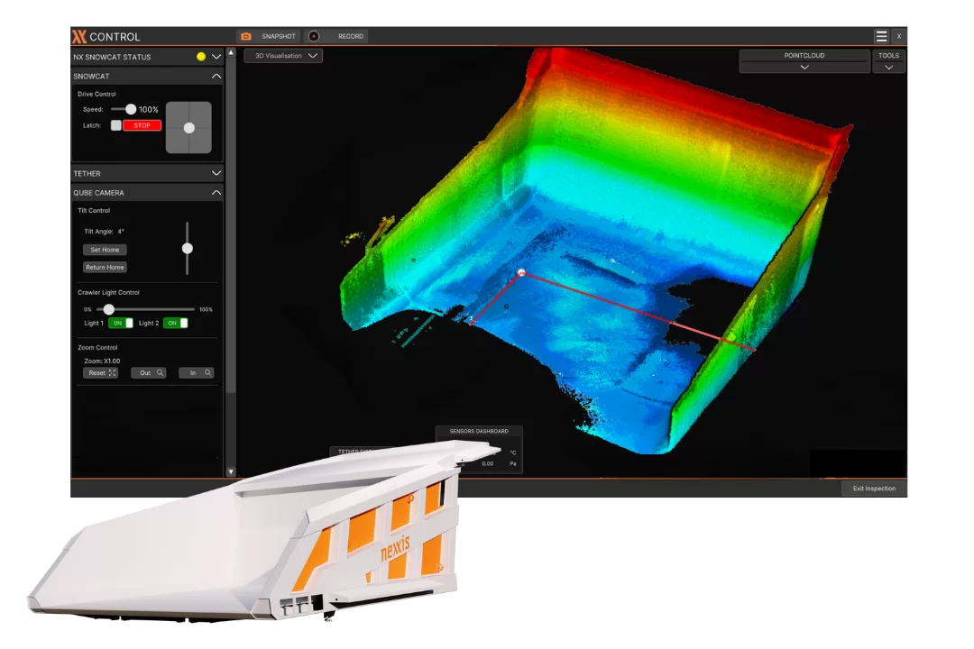

Author: Ian Seed
Created: 2026-03-25 Modified: 2026-03-25
●
Offline